Shaping the Charles: Mapping, Moving and Bridging the River
For more than three hundred years, New Englanders
and others have sought to represent, harness, cross, and shape the Charles
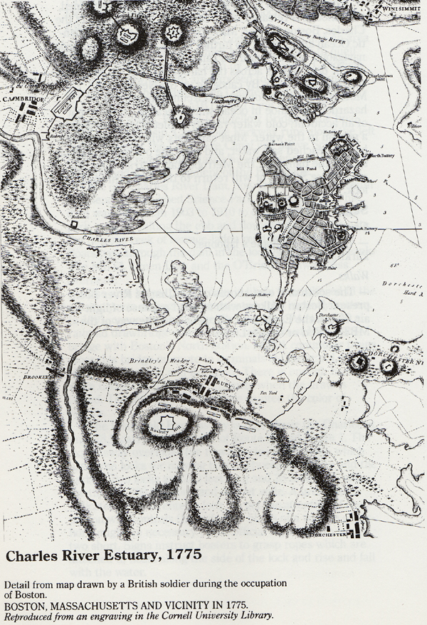
River. Maps of the Charles date back to the French explorer Samuel Champlain
in the early seventheenth century. Modern geographers and geologists have
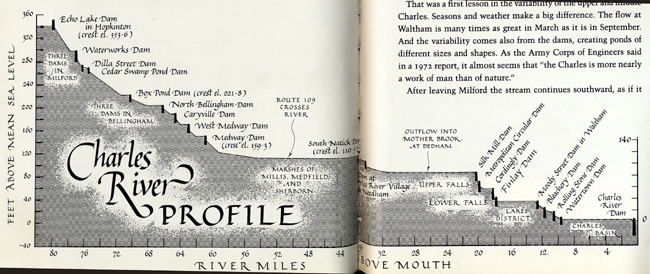
devised more complex ways of representing the river. New Englanders have
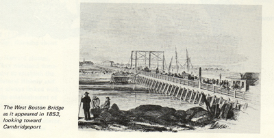
devised many ways to cross the Charles, from the first regular ferry service
between Charlestown and Boston in 1631 through today's elegant and expensive
Zakim Bunker Hill Bridge. And, particularly in the nineteenth century, but
also before and since, New Englanders have physically changed the shape,
size and location of the Charles through large landscape engineering projects.
The images and text on this page will introduce you to some of these projects
to shape the Charles.
Mapping the Charles:
Crossing the Charles:
Moving the Charles: